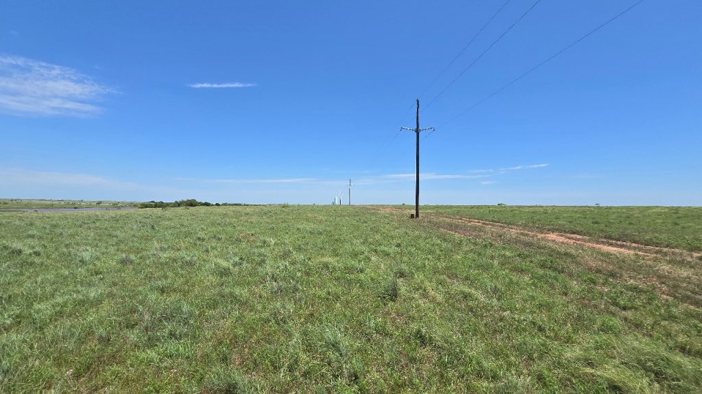
Energy Generation and Transmission, Archaeological Surveys, MainIntensive Archaeological Survey for the Soleil Solar Project Oct 2, 2025
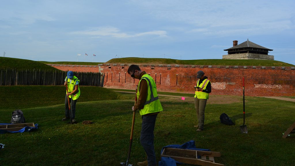
Federal Government, Phase I Archaeological Survey, MainPhase I Archaeological Investigation for the Old Fort Niagara Shoreline Protection Project Sep 23, 2025
Oil and Gas, Cultural Resource Survey, MainCultural Resource Survey for the M840B Class 2 Replacement MP 16.5 Project Aug 21, 2025
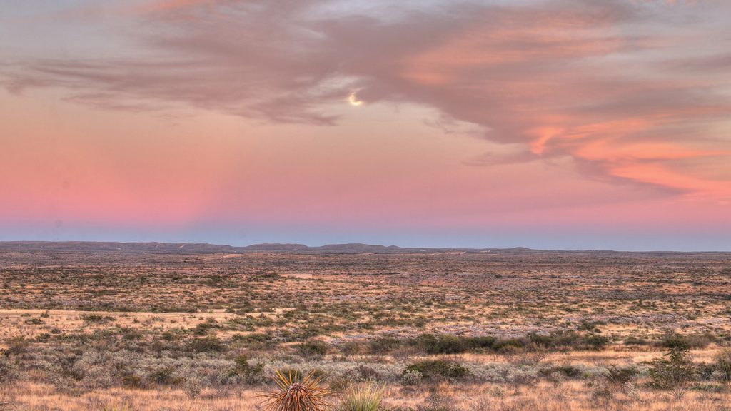
Federal Government, MainClass III Cultural Resource Survey for the West Verde RX Project within the Tonto National Forest Jun 19, 2025
Communications, Cultural resource assessment survey, MainCultural Resource Assessment Survey for the 6MD2650B Cellular Colocation Modification Project Apr 24, 2025
Communications, Desktop Assessment, MainDesktop Assessment for the Atlanta to DC Fiber Optic Line Route Apr 24, 2025
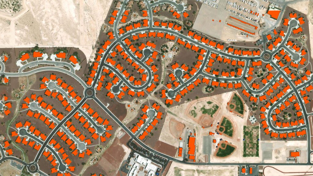
Federal Government, Aerial Mapping, GIS Mapping, LiDAR, MainHistoric Structure Footprint Extraction from LiDAR Imagery Oct 9, 2024
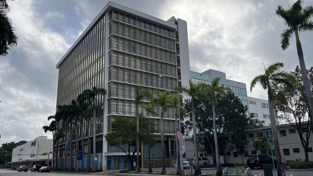
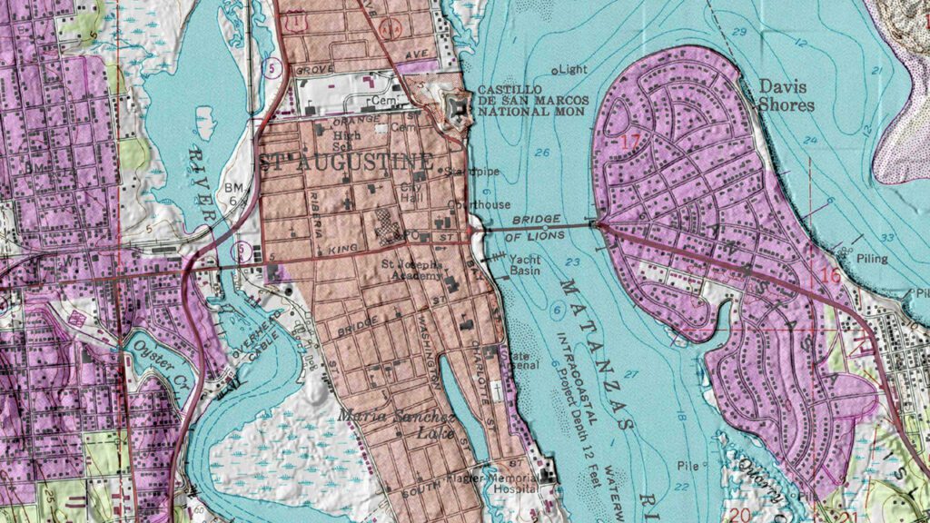
State and Local Government, Aerial Mapping, GIS Mapping, Probability Modeling, MainReexamining St. Augustine’s Archaeological Zones Oct 9, 2024
State and Local Government, Transportation, Technology Solutions, Underwater Archaeology, MainCSS Georgia, Savannah Harbor Jun 14, 2023