Chronicle Heritage logo
  • Contact Us
  • Chronicle Heritage logo
  • Services
        • Services

          We’ll help you negotiate the complex path to compliance.

          Learn more

        • Archaeology
        • Heritage Preservation
        • Underwater Archaeology
        • Architectural History
        • Cultural Landscape
        • Tribal Consultation
        • Paleontology
        • Technology Solutions
        • Major Project Solutions
  • Sectors
  • About
    • Leadership
  • Case Studies
  • Resources
  • Resources
    • Brochures
    • Videos
    • Guides
  • News
  • Careers
    • View Careers
    • Join the Team
  • Locations
  • Arabia
  • UK & Europe
  • Contact Us

News and Insights

GIS Mapping

Structural Footprint Extraction from LiDAR Imagery
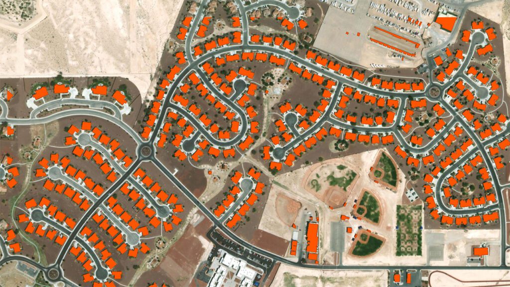
Federal Government, Aerial Mapping, GIS Mapping, LiDAR, Main

Historic Structure Footprint Extraction from LiDAR Imagery

Oct 9, 2024

This image represents a modern USGS Topographic Map with the digital elevation model-derived hillshade overlain to get a better demonstration of the topography of St. Augustine in a commonly-accessed map resource.
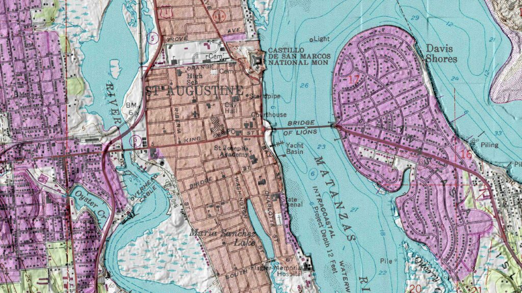
State and Local Government, Aerial Mapping, GIS Mapping, Probability Modeling, Main

Reexamining St. Augustine’s Archaeological Zones

Oct 9, 2024

866.563.2536 | Info@ChronicleHeritage.com
2025 North 3rd Street, Suite 157 | Phoenix, AZ 85004

  • LinkedIn
  • Facebook
  • Instagram
Copyright © 2026 Chronicle Heritage. All Rights Reserved.
  • Privacy Policy
  • Cookies Policy
  • Terms and Conditions