
Chronicle Heritage was contracted by U.S. Army Corps of Engineers – Buffalo District to conduct a Phase I archaeological survey as part of a shoreline protection project at Old Fort Niagara National Historic Landmark.
Project Overview:
Chronicle Heritage conducted an archaeological survey of four acres within Old Fort Niagara State Park, including .5 acres where a shoreline protection wall was proposed and a 3.5-acre construction area. The project area was highly sensitive for archaeological resources.
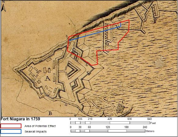
From the late 1600s to early 1800s, the flat, low-lying landform of the project area was employed for numerous purposes associated with the fort, including, trade with local Indigenous groups and occupation by European colonialists and later by American military forces. Historical maps show buildings and earthworks in and near the project area throughout the fort’s existence. The project included areas that were formerly part of the exterior earthworks of the original fort, a flat lawn between the fort and a garden, and later, in the early 20th century, part of an artillery testing range.
The purpose of the Phase I investigation was to locate all cultural resources within the project area and to identify archaeologically sensitive areas, cultural areas, and structures 50 years or older that may be affected by the proposed shoreline protection project.
![Figure 1 1. The Study Area in Fort Niagara State Park. Town of Porter, Livingston County, New York (USGS Fort Niagara, New York–Ontario [1980] and Lewiston, New York–Ontario [1980] 7.5-minute topographic quadrangle](https://b3209745.smushcdn.com/3209745/wp-content/uploads/2025/09/CH-case-study-fig1-Old-Fort-Niagara-Shoreline-Protection-Project-879x1024.jpg?lossy=1&strip=1&webp=1)
Project Activities Included:
- Documentary and historical map research, a site file and literature search, and the examination of properties listed in the New York State Register of Historic Places (SRHP) and National Register of Historic Places (NRHP)
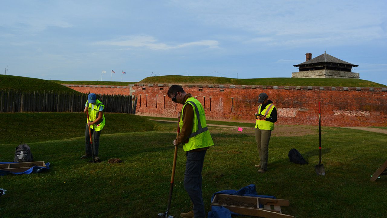
- An intensive walkover reconnaissance investigation and photographic documentation of field conditions.
- Excavation of 81 shovel test pits (STPs) extending from the fence along the Lake Ontario shoreline south through the green spaces west and east of the maintenance building complex. Because of the archaeological sensitivity of the project area, the STPs were distributed at a 33-foot (10-meter) interval, rather than the standard 50-foot (15-meter) interval.
Compliance:
The investigations were conducted in compliance with the National Historic Preservation Act, the State Historic Preservation Act, the National Environmental Policy Act, the New York State Environmental Quality Review Act, and all relevant state and federal legislation. The investigation was also conducted according to NYAC’s Standards for Archaeological Investigations and New York State Historic Preservation Office (NYSHPO) guidelines.