Mapping Montgomery and its Role in the Modern Civil Rights Movement
In 2019, the City of Montgomery—known as a hub for the Civil Rights Movement — was awarded a National Park Service [NPS] African American Civil Rights Grant, which resulted in the documentation of over 2,300 buildings within historically African American neighborhoods.
As leaders in the field of architectural history—and with the capacity to conduct large-scale surveys—Chronicle Heritage, operating at the time as PaleoWest, was brought in to execute this survey. This provided the City of Montgomery’s Planning Department with the foundation for future preservation efforts. Our technology team then created an immersive online tour of key sites, documenting the pivotal role Montgomery played in shaping African American Civil Rights.
NPS African American Civil Rights Grants are awarded to states, counties, and cities across the country to “document, interpret, and preserve sites and stories related to the African American struggle to gain equal rights as citizens.” [Source: NPS] In winning the grant, the City of Montgomery’s Planning Department was able to move one step closer to having many of their culturally significant districts recognized for the pivotal role they played in shaping the Civil Rights Movement.


Make sure to check out the awesome StoryMap here >
Putting Montgomery on the Map
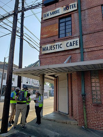
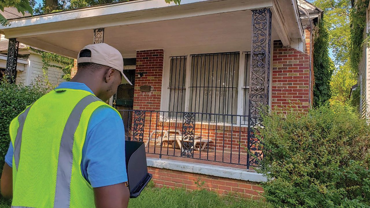
From the outset, we were proud to be part of a project that would help bring lasting recognition to a City whose history was critical to the advancement of Civil Rights in our country. While recording so many buildings was daunting, we made sure we were well equipped to execute the project. To ensure this was delivered to the highest possible standard, we took extra care when preplanning the project, which allowed us to streamline the fieldwork. We equipped our field workers with the latest technology to ensure they were both efficient and precise in the work they carried out. Each site, building, and structure would need to be photographed and have key architectural and historic information documented, all while walking the streets by foot, moving from one building to the next, over the course of a month.
Going above and beyond
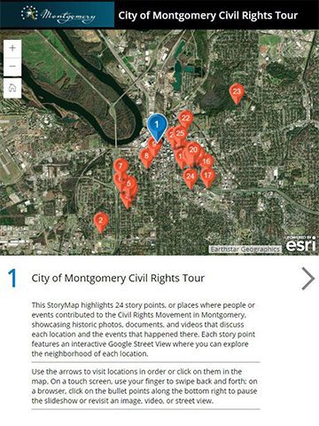
As technology leaders in our industry—and, since the project marked such a monumental undertaking for the City of Montgomery—we then utilized our in-house technology team to create an interactive StoryMap of the project, which the City’s Planning Department could use to celebrate and promote its rich cultural history.
A StoryMap is an online, interactive map that allows the user to see historical photographs and access audio and video recordings. The project’s StoryMap allows users to explore the history of key sites in the City. It serves as a virtual tour of Montgomery, highlighting historic buildings that were central to the Civil Rights Movement.
The City of Montgomery’s Planning Department played a critical role in their grant project and the StoryMap. A talented committee provided expertise and guidance to Chronicle Heritage throughout both projects. The team was composed of Planning Department leadership and staff, trained preservationists, and accomplished historians who specialize in the Civil Rights Movement. Team members were engaged at every level, meeting Chronicle Heritage staff for fieldwork despite summer temperatures and assembling historical details from the community about key sites.

